![A wildfire burning in Utah as seen from an airplane 7/24/16](https://firescenes.net/wp-content/uploads/2016/08/20160724_173703-600x338.jpg)
Larry Shapiro photo
![A wildfire burning in Utah as seen from an airplane 7/24/16](https://firescenes.net/wp-content/uploads/2016/08/20160724_173714-600x338.jpg)
Larry Shapiro photo
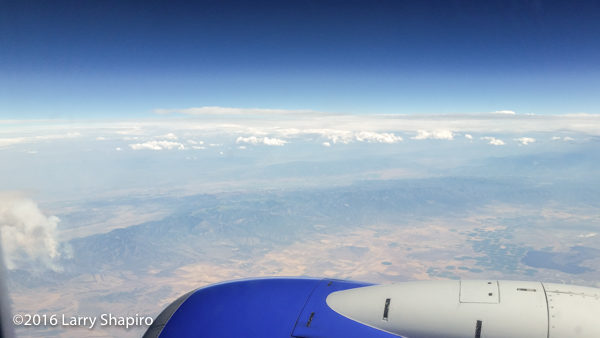
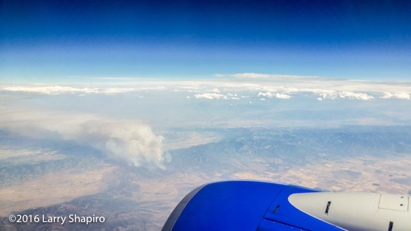
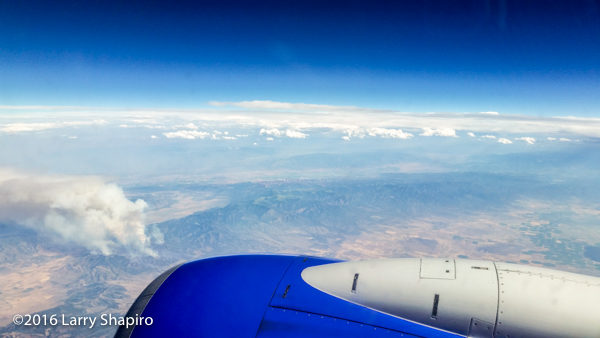
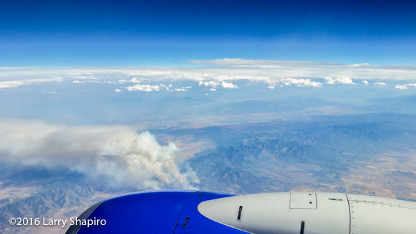
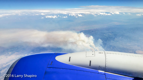
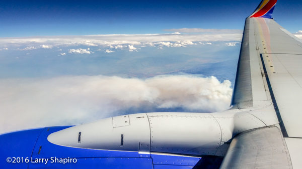
While flying back from Sacramento on Sunday, 7/24/16, I spotted this wildfire in Utah, somewhere south of Salt Lake City.
![A wildfire burning in Utah as seen from an airplane 7/24/16](https://firescenes.net/wp-content/uploads/2016/08/20160724_173733-600x338.jpg)
Larry Shapiro photo
![A wildfire burning in Utah as seen from an airplane 7/24/16](https://firescenes.net/wp-content/uploads/2016/08/20160724_173814-600x338.jpg)
Larry Shapiro photo
![A wildfire burning in Utah as seen from an airplane 7/24/16](https://firescenes.net/wp-content/uploads/2016/08/20160724_173900-600x338.jpg)
Larry Shapiro photo
![A wildfire burning in Utah as seen from an airplane 7/24/16](https://firescenes.net/wp-content/uploads/2016/08/20160724_174000-600x337.jpg)
Larry Shapiro photo
![A wildfire burning in Utah as seen from an airplane 7/24/16](https://firescenes.net/wp-content/uploads/2016/08/20160724_174203-600x337.jpg)
Larry Shapiro photo
![A wildfire burning in Utah as seen from an airplane 7/24/16](https://firescenes.net/wp-content/uploads/2016/08/20160724_174331-600x337.jpg)
Larry Shapiro photo
As the pilot was unable to give me any better information on the location of the fire, I pulled up this map which shows three possible matches for what I photographed out the airplane window.
![Map of wildfires in the State of Utah during the week of July 22, 2016. (From Utahfireinfo.gov)](https://firescenes.net/wp-content/uploads/2016/08/Screen-Shot-2016-08-06-at-5.56.07-PM-495x600.png)
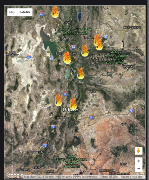
Map of wildfires in the State of Utah during the week of July 24, 2016. (From Utahfireinfo.gov)